Third Space Indy on the Map
The Third Space Indy Map — Felt
The only cloud-native GIS platform.
Why did you make a map, Michael?
I’ve actually planned to do a map from the very beginning. It’s important to me that, as Third Space INDY, I am highlighting all of Indianapolis. At this time, I believe many people think that all of Indianapolis is downtown and Broad Ripple; in fact, the current map reflects this. So I have a lot of work to do.
Having a diversity of guests of all races, genders, classes, and, in the case of Indianapolis spawl, geographic location is essential and core to Third Space Indy. So this map is for me to understand my blind spots better.
What does the map highlight?
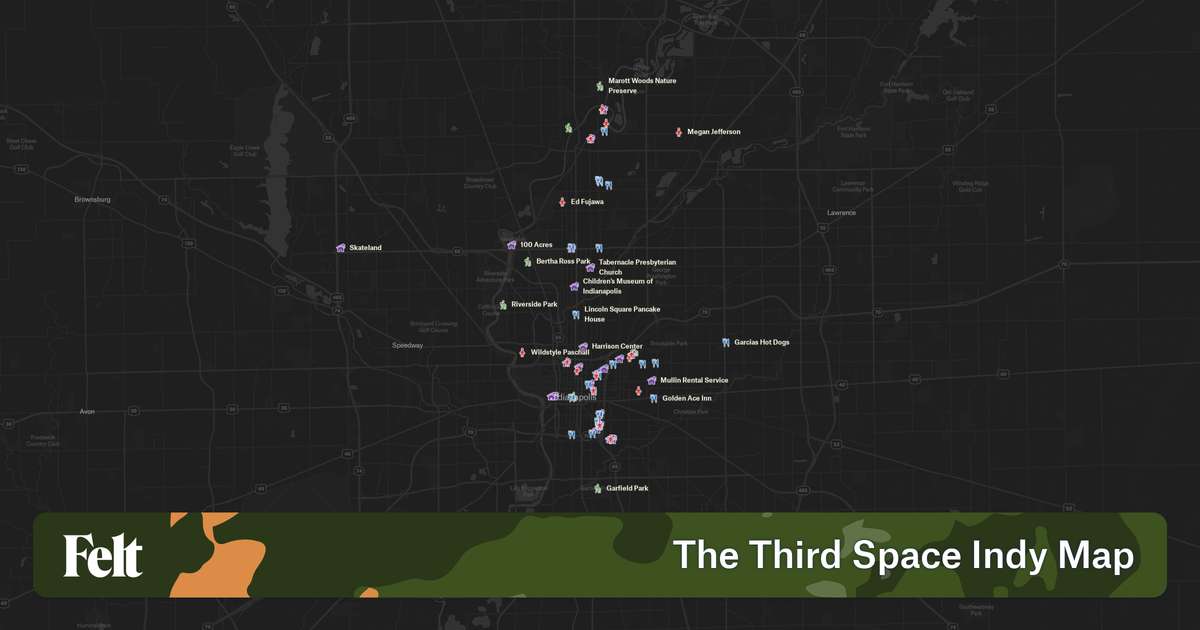
The map shows a couple of things at this time, and I’ll update this if that changes.
It is bounded by what is effectively how far I’ll go to record an episode of Third Space Indy; any further out, and we’re no longer in Indianapolis, even my bounds are arguably too large.
Each location where I recorded with a guest is documented and sectioned off. If I recorded with someone at their house, I placed the marker generally in the neighborhood to preserve their privacy. If I recorded in public with the person, I tried my best to place the pin where it happened.
Lastly, I’ve also marked down various organizations, places, eateries, and outdoor spaces mentioned on the podcast in case you’ve ever heard a name and wanted to find out where it is!
Conclusion
Third Space Indy strives to highlight all of Indianapolis and further connect and highlight the entire city, not just the white and rich parts. This is constantly on my mind and something I am constantly thinking about how to solve for myself. This is just a singular step in transparency and understanding where I need to go next.
Add a comment: